A History of Hastings Country Park
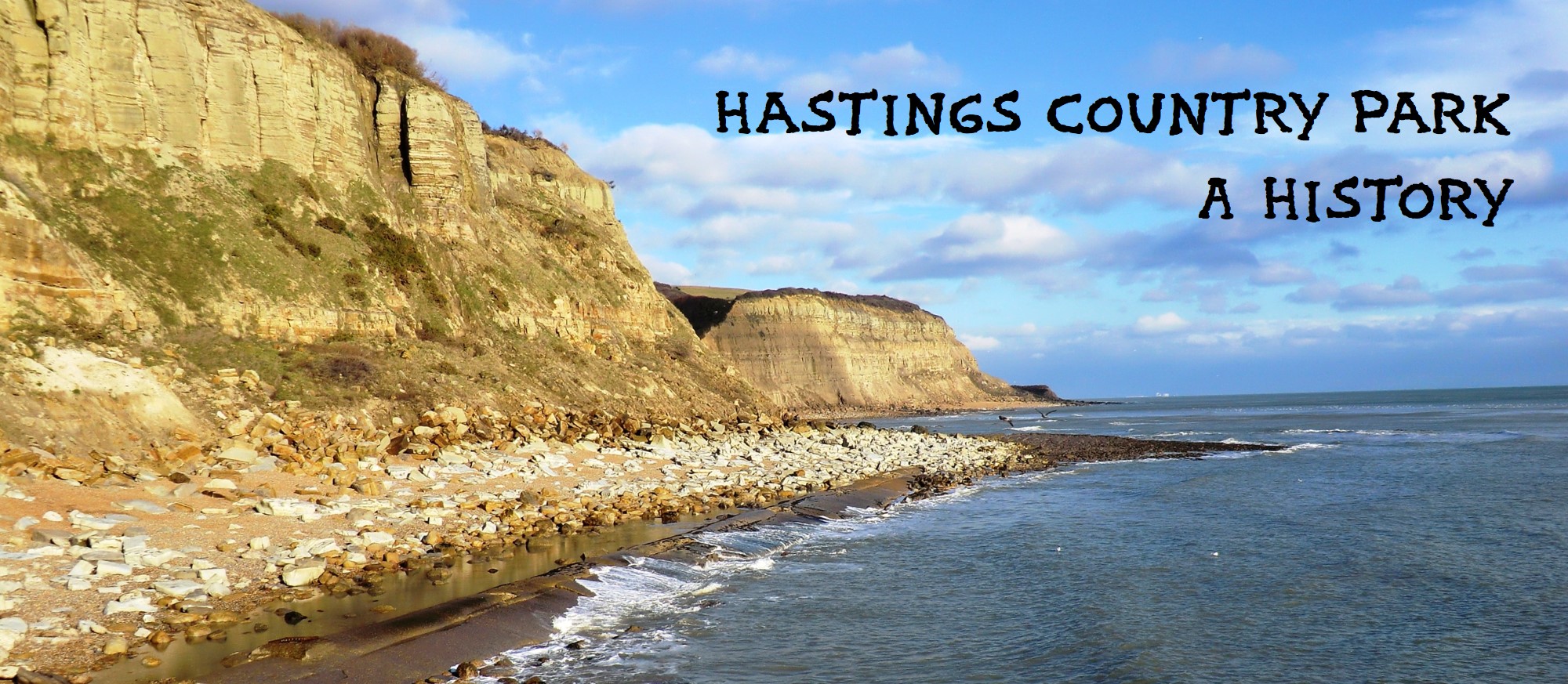
The beautiful cliffs and glens to the east of Hastings have for centuries been an inspiration for many people, including Pre-Raphaelite artists like William Holman Hunt, pioneering ecologist Grey Owl and television inventor John Logie Baird, who worked out how to create the world’s first TV system while walking on the cliff-tops in 1922. Today the whole area is part of the Hastings Country Park Nature Reserve, with 853 acres (345 hectares) of sustainably managed farmland, ancient gill woodland, heaths and grassland, plus three miles of dramatic sandstone cliffs and coastline.
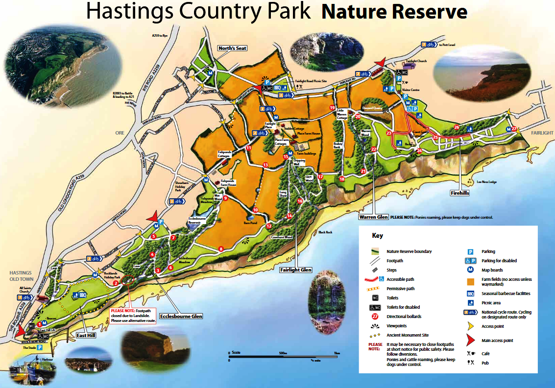
Hastings Council in 1971 set up the Hastings Country Park, then consisting of 510 acres of cliff-top walks, the three glens -Ecclesbourne, Fairlight and Warren - and the East Hill. At that time the Council also owned a further 300-plus acres of adjoining farmland, leased to a farmer. When this farm was repossessed in 2001 the Council decided to manage the Country Park and farmland together, along with a small amount of other land, as a ‘local nature reserve’ under the 1949 National Parks Act. This was formally agreed in July 2006, creating the Hastings Country Park Local Nature Reserve. The Reserve now consists of 522 acres of designated Country Park and 331 acres of farmland.
Hastings Council is the sole owner of all the land within the Reserve, although some of it on the north-east edge is outside the borough boundary, being in Rother District. All the Reserve lies within the High Weald Area of Outstanding Natural Beauty (AONB). The majority of the park is designated a Special Area of Conservation (SAC) under European legislation, and a Site of Special Scientific Interest (SSSI) under domestic legislation, because of the unique wildlife and the fossil-rich soft rock cliff and slope. The top of the East Hill was probably an Iron Age fort, and the eastern half of it is a Scheduled Ancient Monument (SAM).
The Reserve owes its existence to the Collier and Milward families, who accumulated thousands of acres of land in eastern Sussex in the 18th and early 19th centuries, but in the following decades did not sell the Reserve area for development. The town’s most powerful land-owning families of two centuries ago became its main environmental benefactors, despite some of their finance having dubious origins, especially smuggling.
Unfortunately the Reserve is constantly shrinking in size, as the sea eats into the coastline. Until about 8,000 years ago, England and France were one landscape, split only by a river in the middle of what is now the English Channel, draining north European waters into the Atlantic. Today, 45 miles of sea separate Hastings from the nearest part of the French coast, and cliff erosion is happening at a significant speed, which is likely to increase if sea levels rise by a metre or more this century as a result of global warming.
What follows in the next sections is a history of the Reserve, starting with an overview of the Old Times, up to about 1500. Then the section on Recent Times describes some of the key developments since then. A Chronology records in detail the main events and changes from 15th century onwards. This story is mainly about human beings and their effects on the history of the Reserve, rather than about the plants and wildlife that live within it.
This history has been researched and written by Steve Peak; contact via

